DOWNSVIEW
VISION(S)
“Make no small plans. They have no magic to stir men's blood," urged the architect and city planner Daniel Burnham in 1909 when he went before a committee evaluating his visionary proposal for replanning the city of Chicago. Burnham was speaking to a limited audience, but he might as well have been addressing the entire profession of architects who, from the outset of the twentieth century, would aspire to a scale of planning and building that would, indeed, stir men's blood—for good and for bad—for the next seventy-five years.”
— Riley, The Changing of the Avant-garde, Visionary Architectural Drawings from the Howard Gilman Collection, 2002.
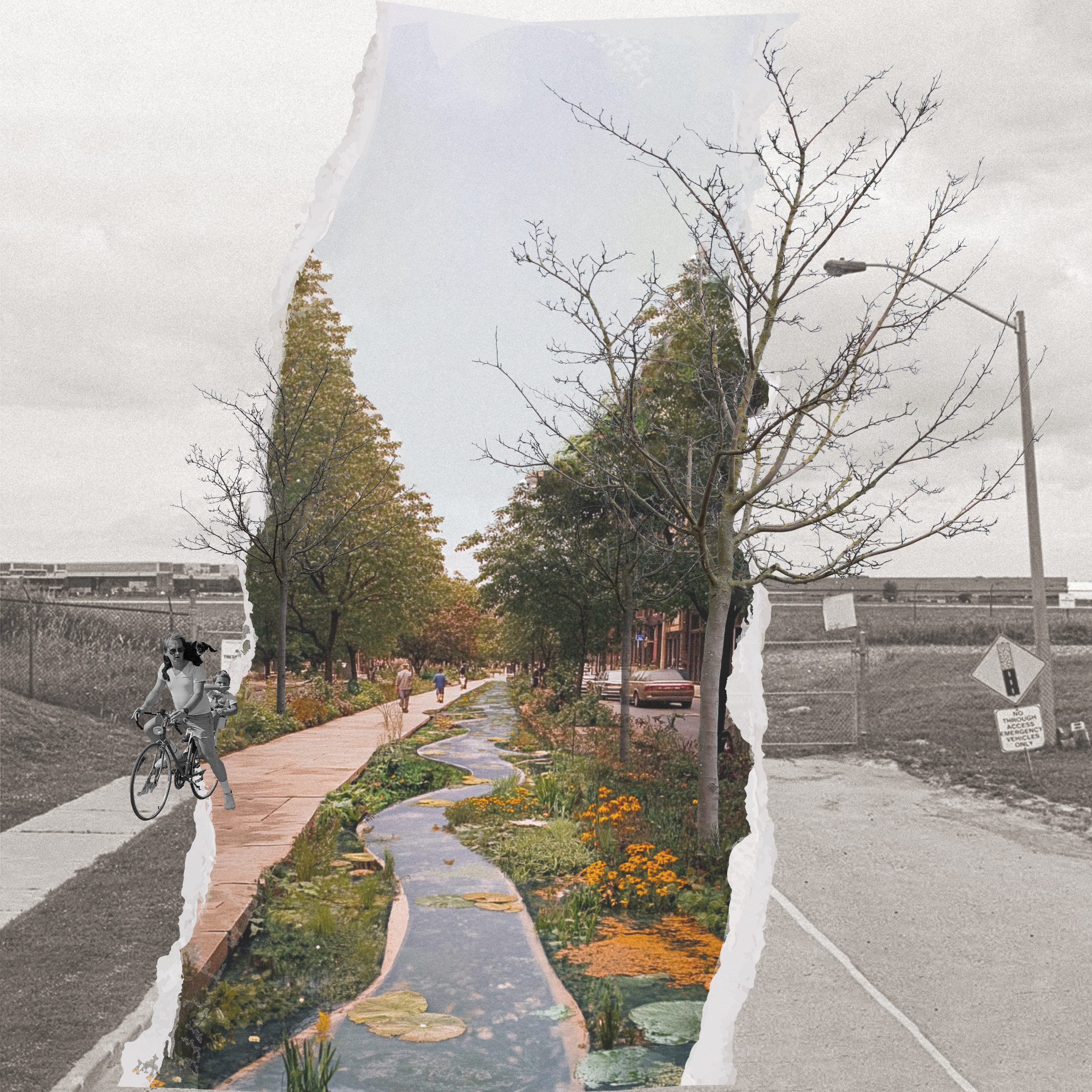
How can tensions between the insular and exterior nature of the Downsview site be reconciled to challenge the way communities are designed today?
+ Attitudes + Visions
+ Boundary Applications
+ Tensions + Connections
+ Connective Topographic Mounds
+ Vegetation Matrix
+ Hub Density Deployment
+ Circulation Hierarchy
+ Axonometric Plan + Transect
+ Soil Volume
Attitudes + Visions
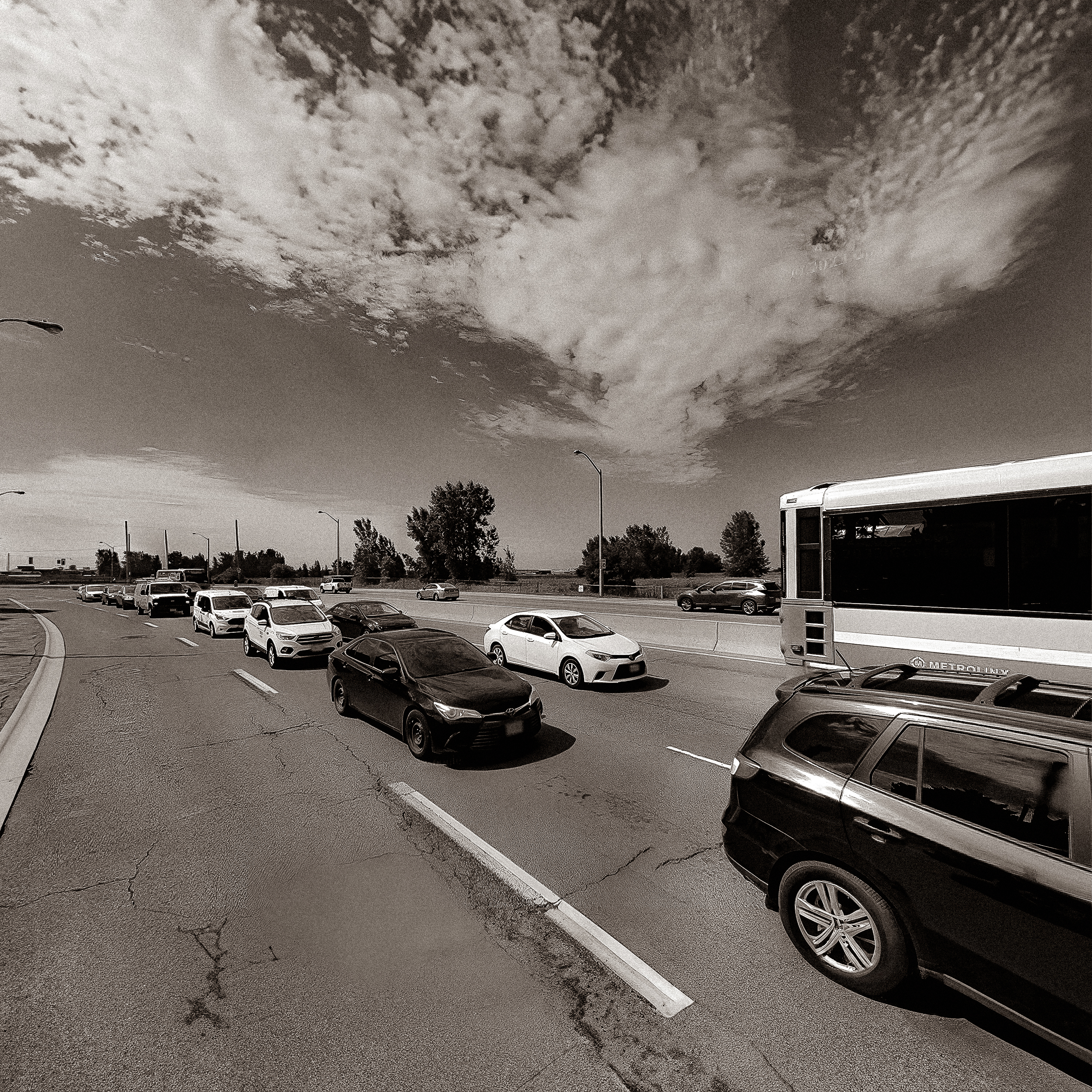
How has the Downsview site boundary morphed over time in conjunction with Urban Planning Paradigms?

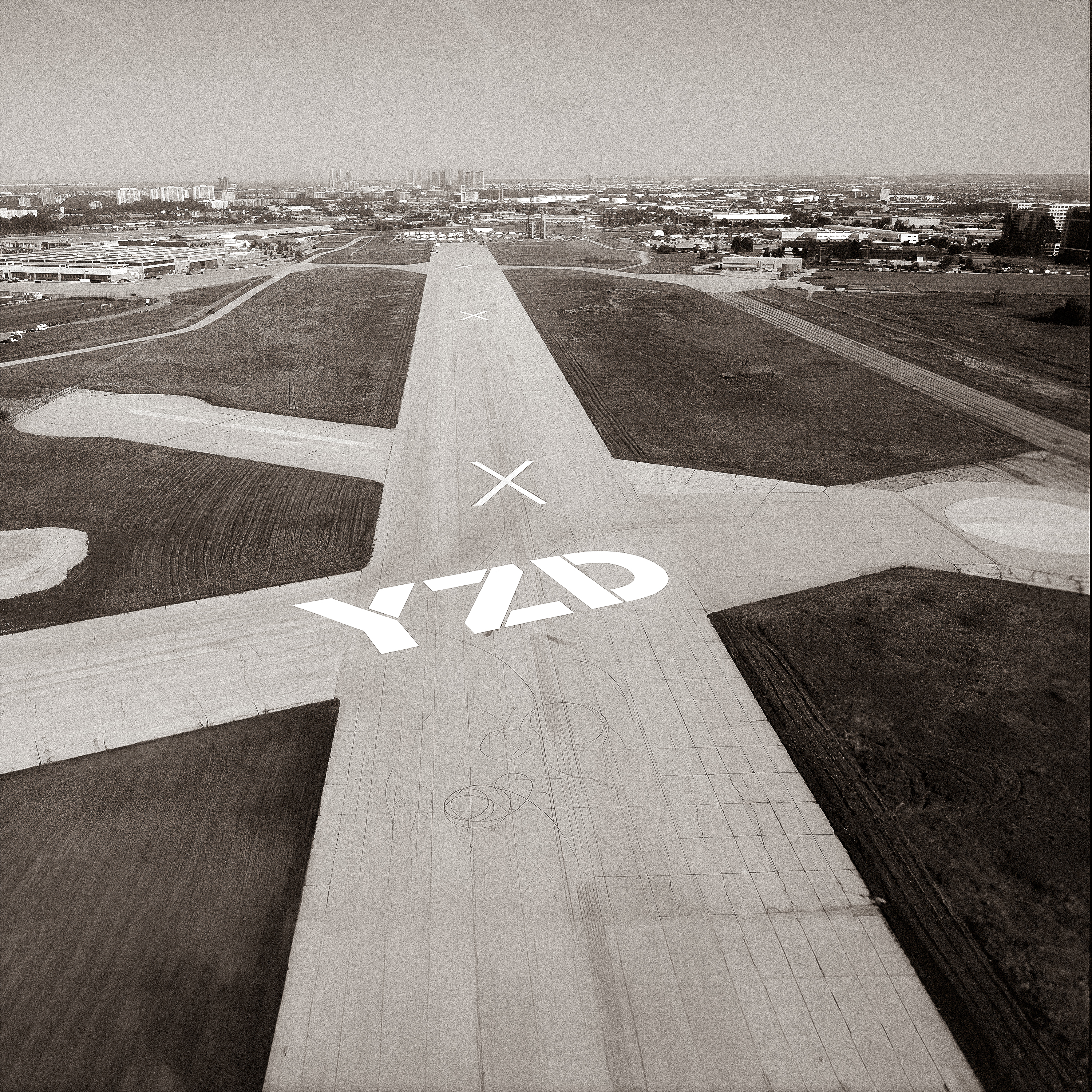
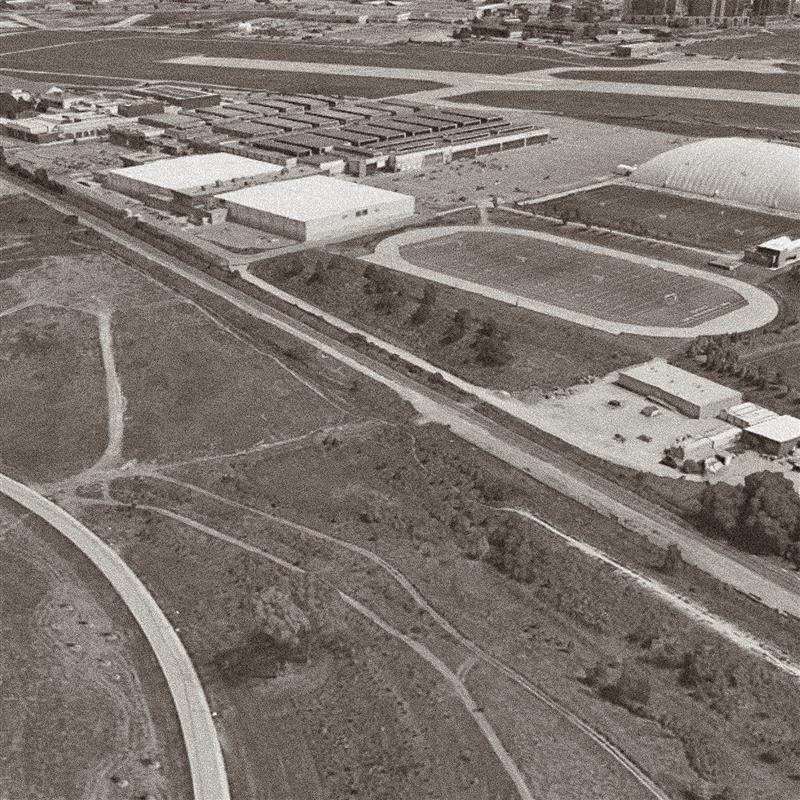
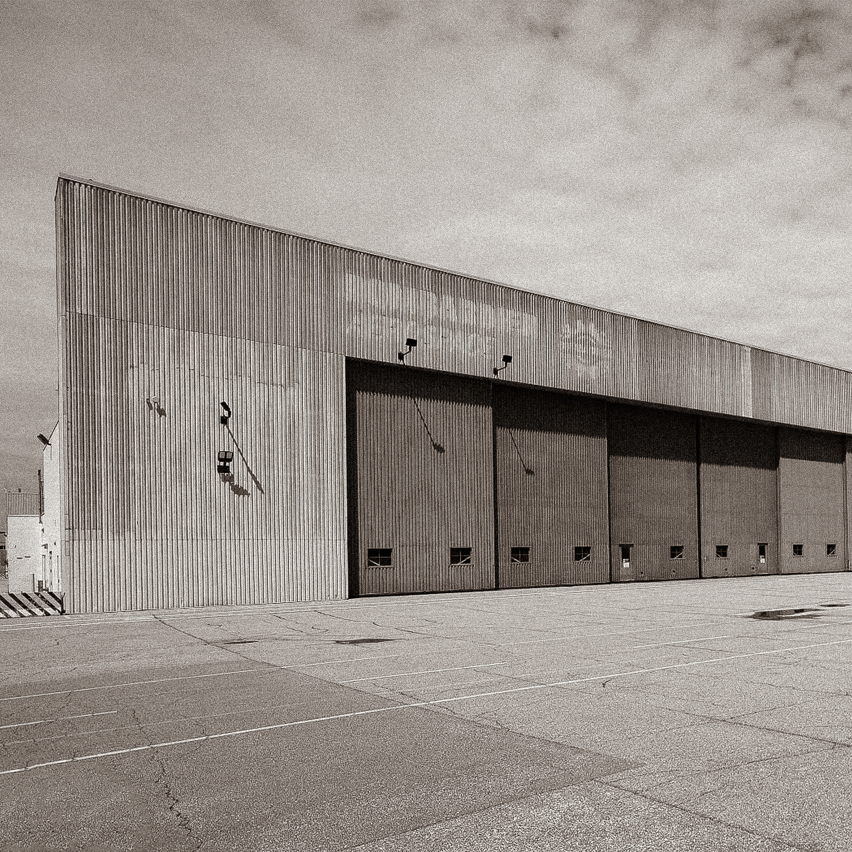

Boundary Applications
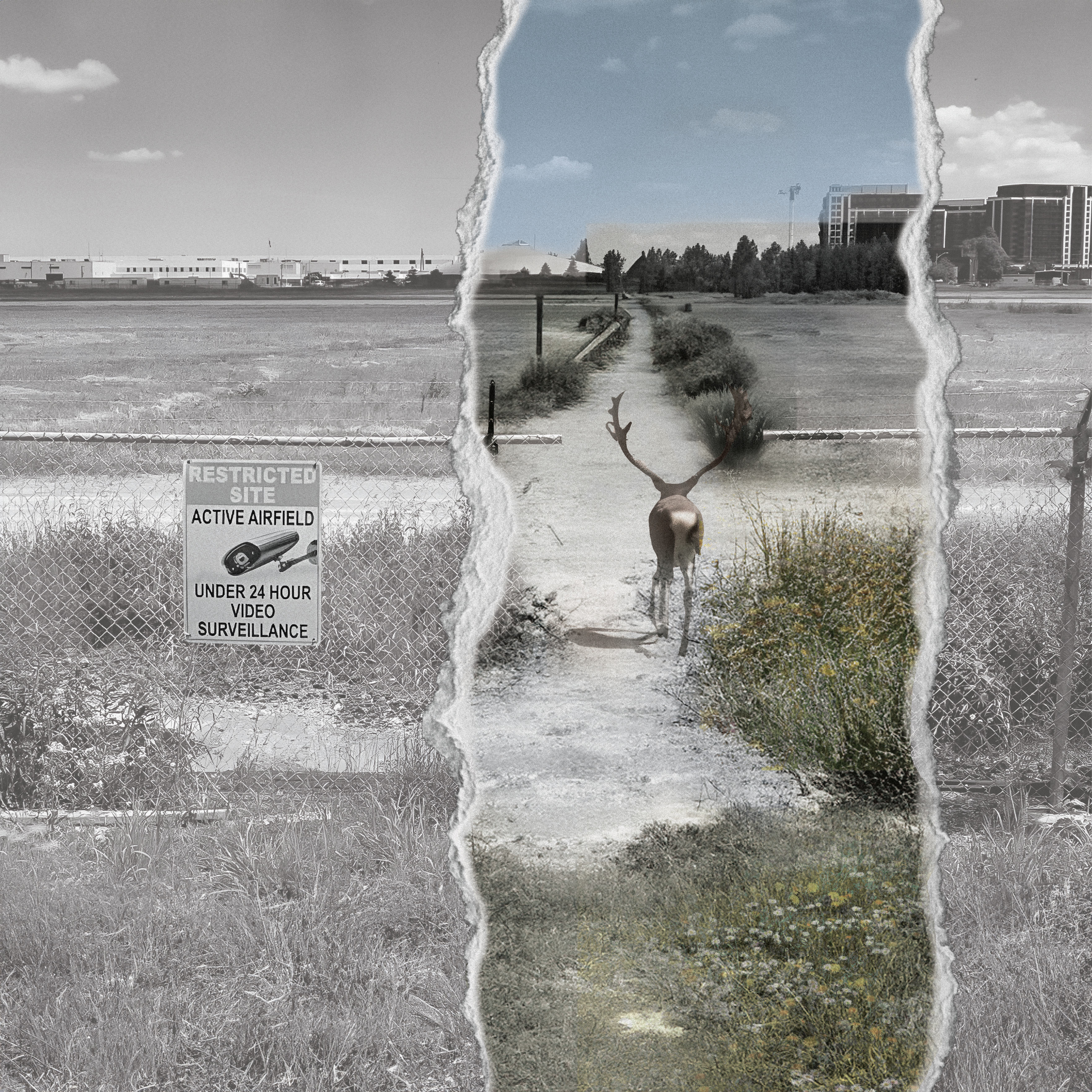
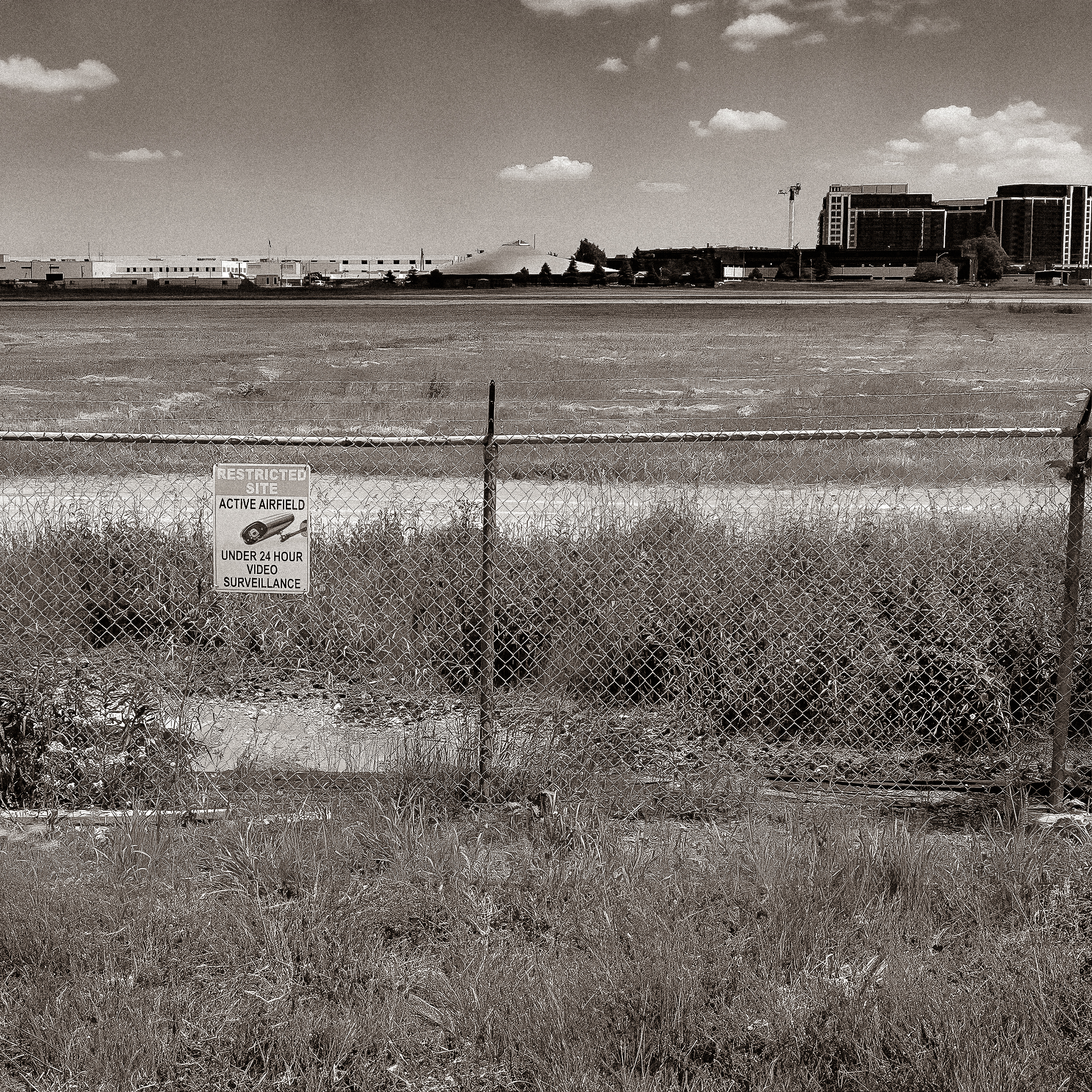
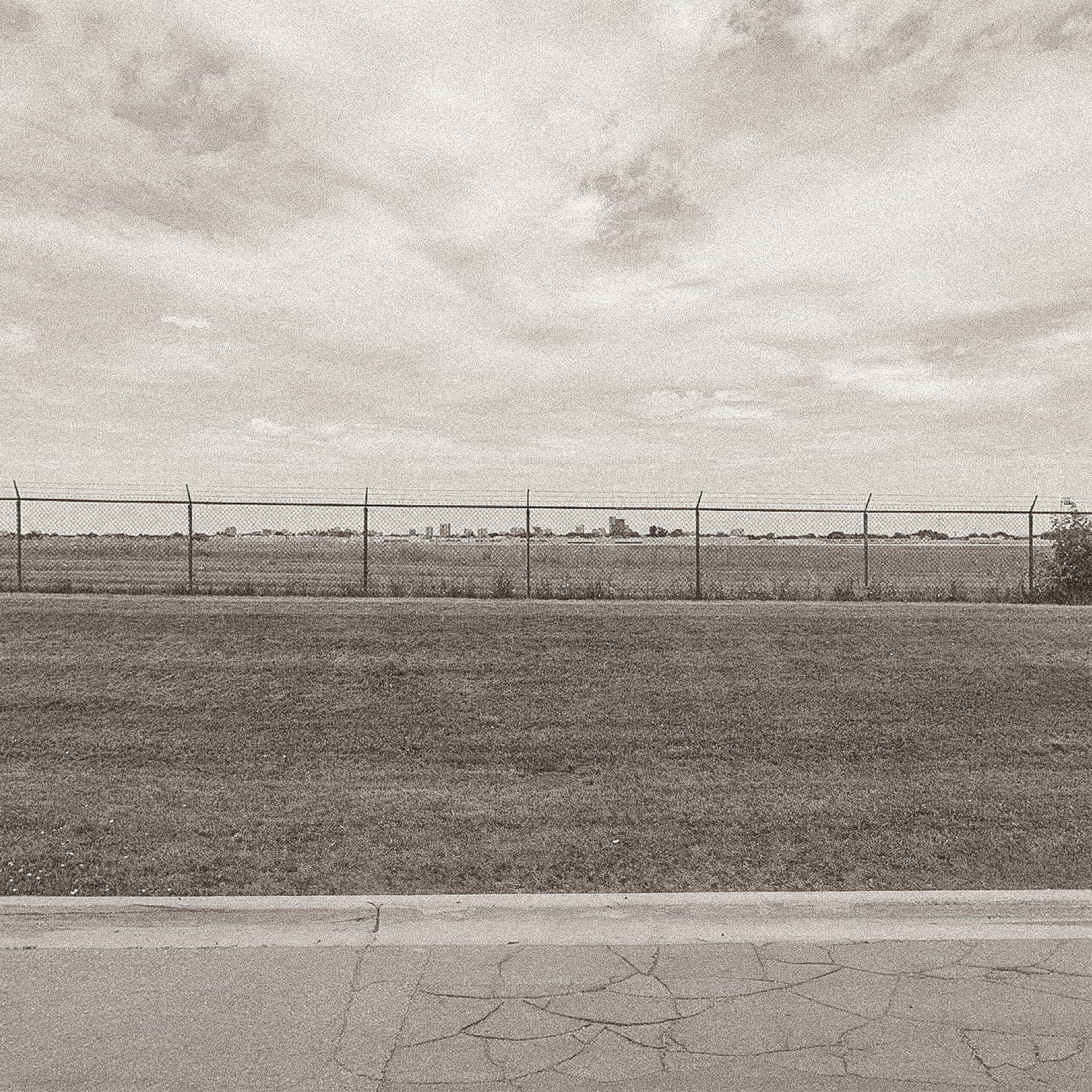
+ Boundaries which are upheld, dissolved, reimagined.
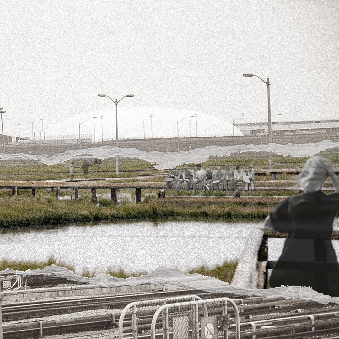
TOPOGRAPHIC
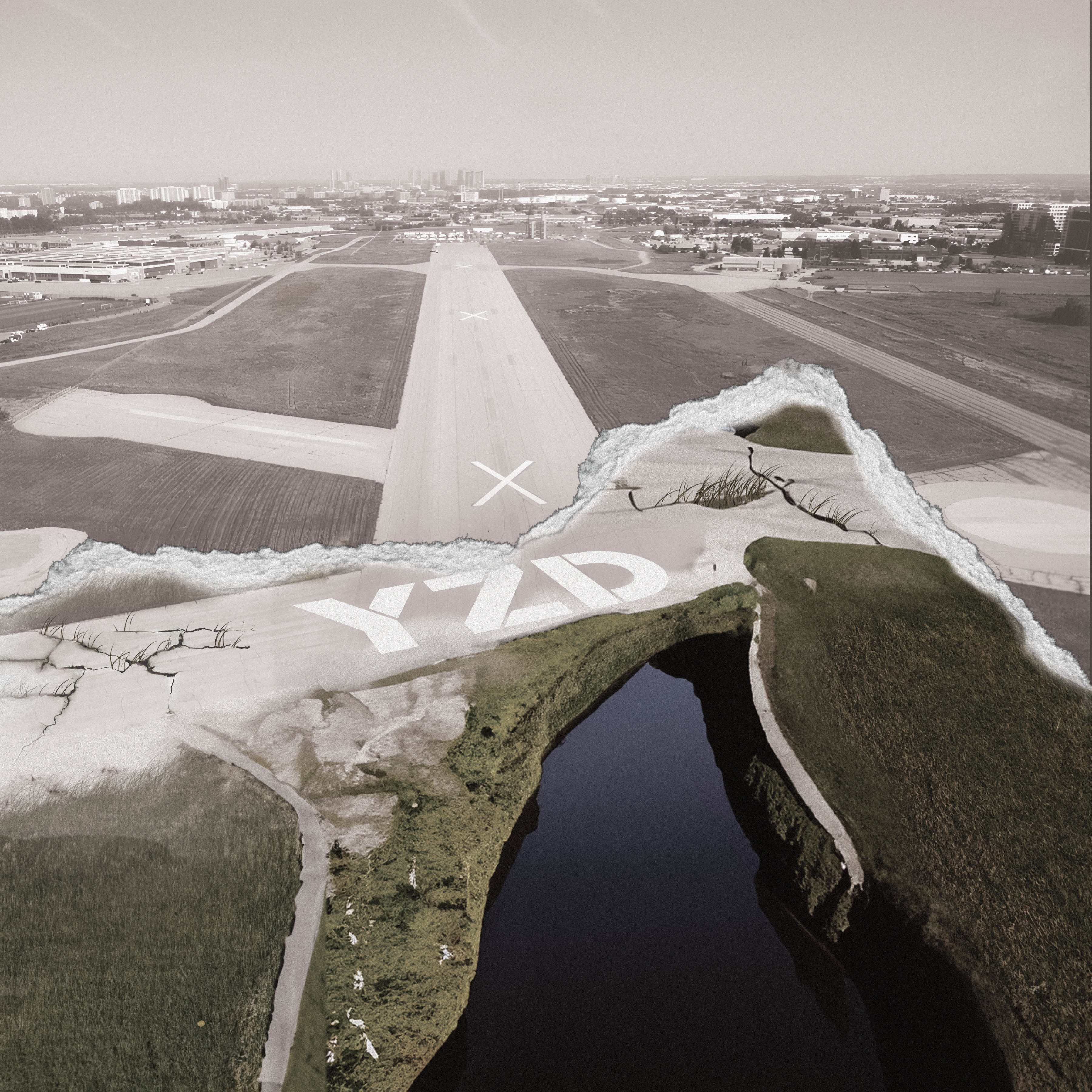
INFRASTRUCTURE + PROGRAMMATIC
ECOLOGICAL
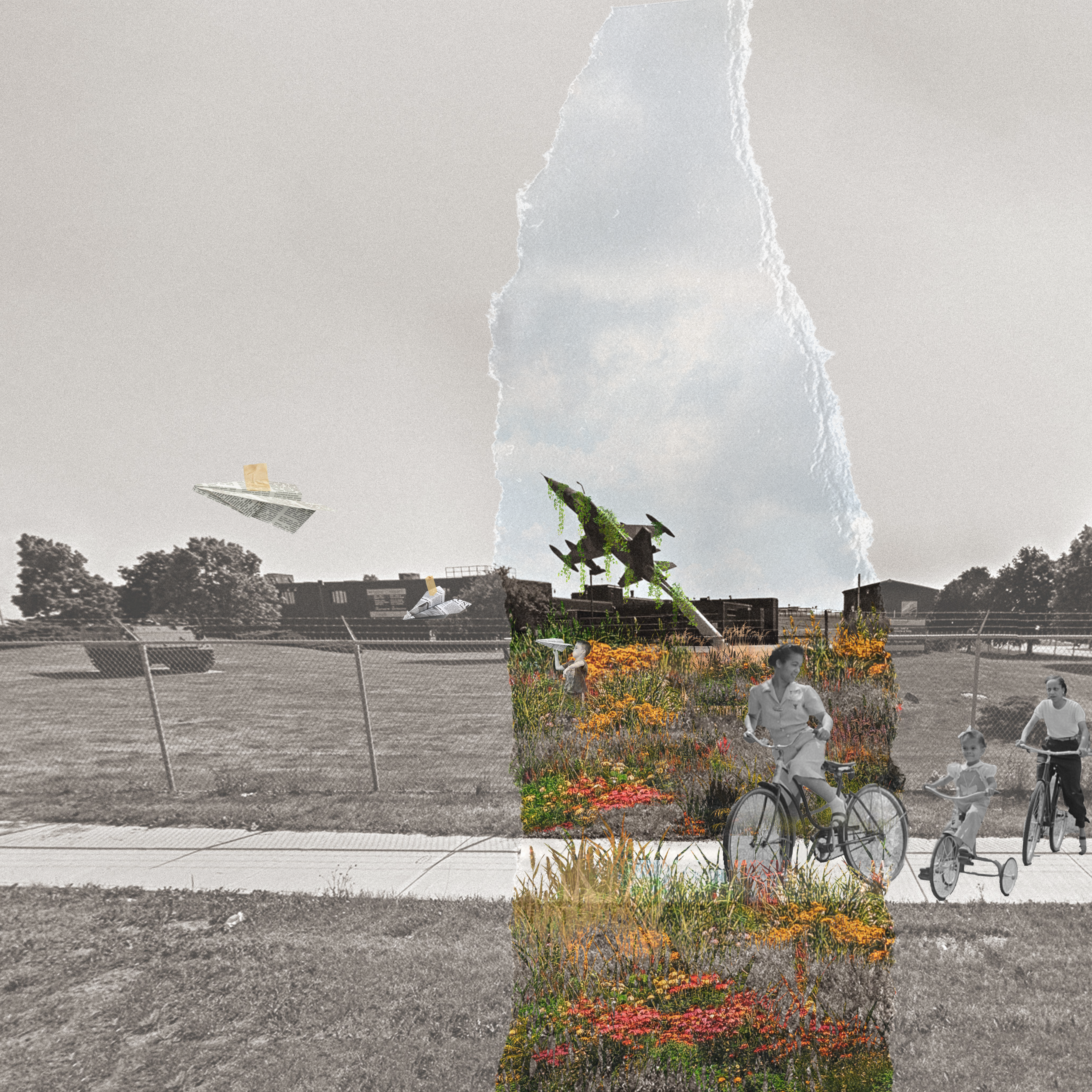
Tensions + Connections
+ Identifying primary tensions with the inner railway crossing and outward connections and tensions.
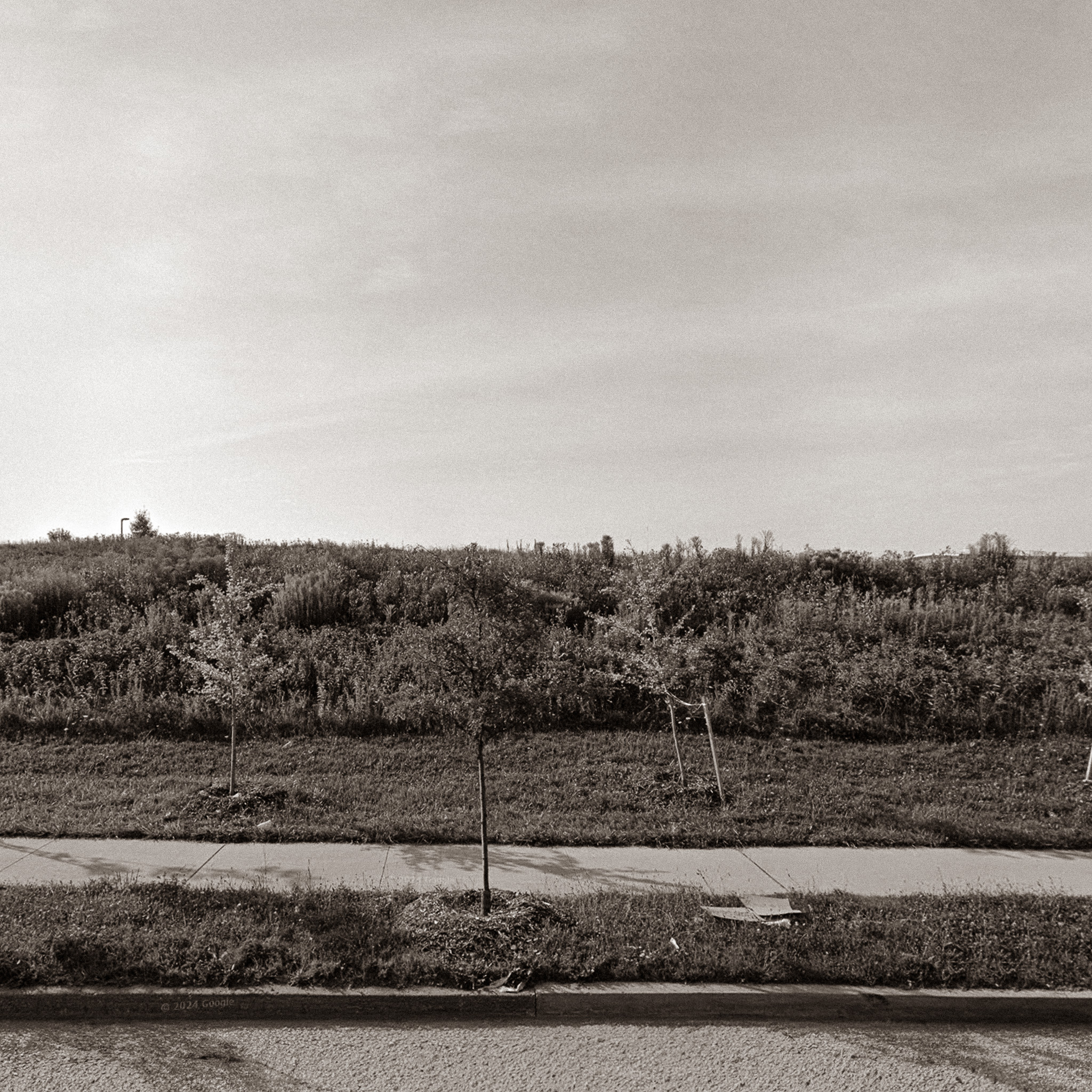
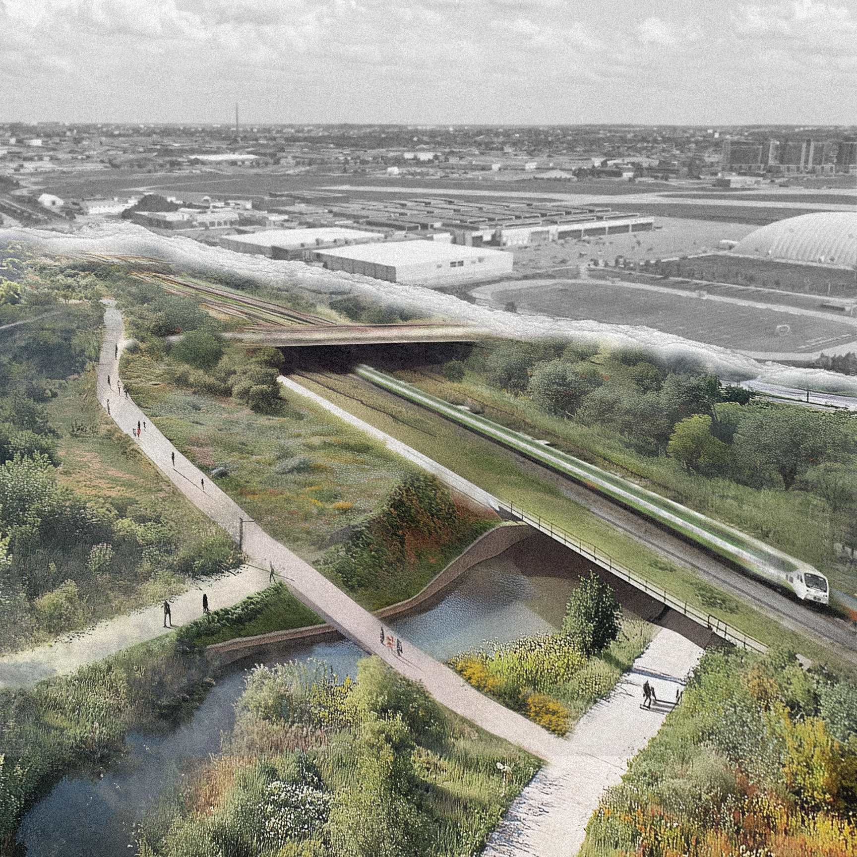
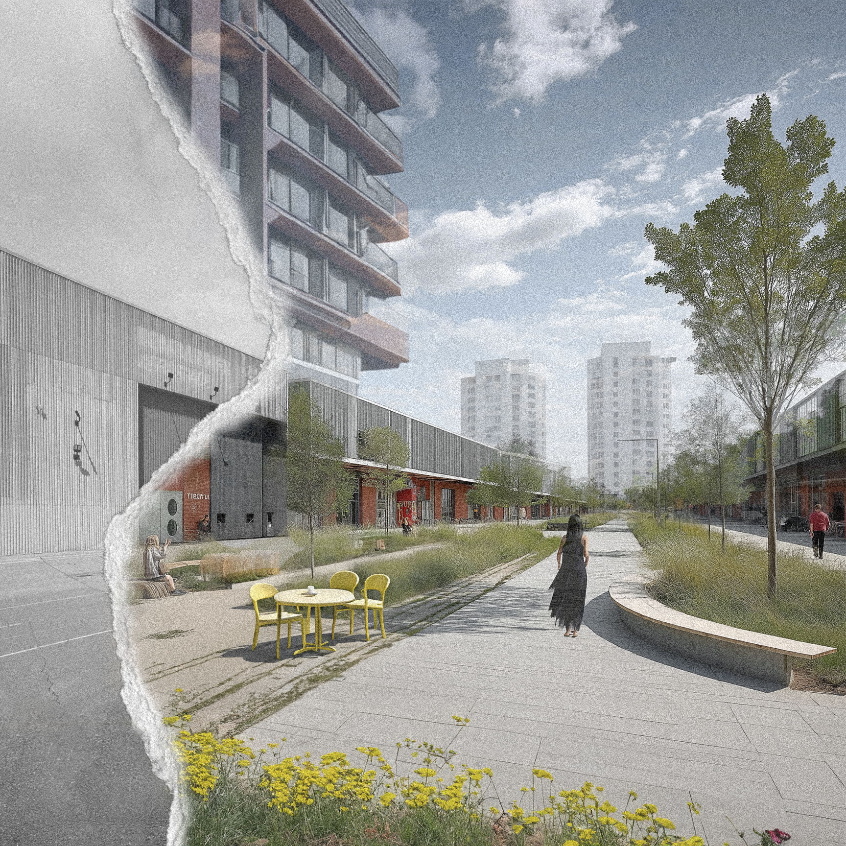
Connective Topographic Mounds
+ Addressing current boundaries conditions with a topographic gesture that bridges the site, a single move of addressing boundaries using landscape.
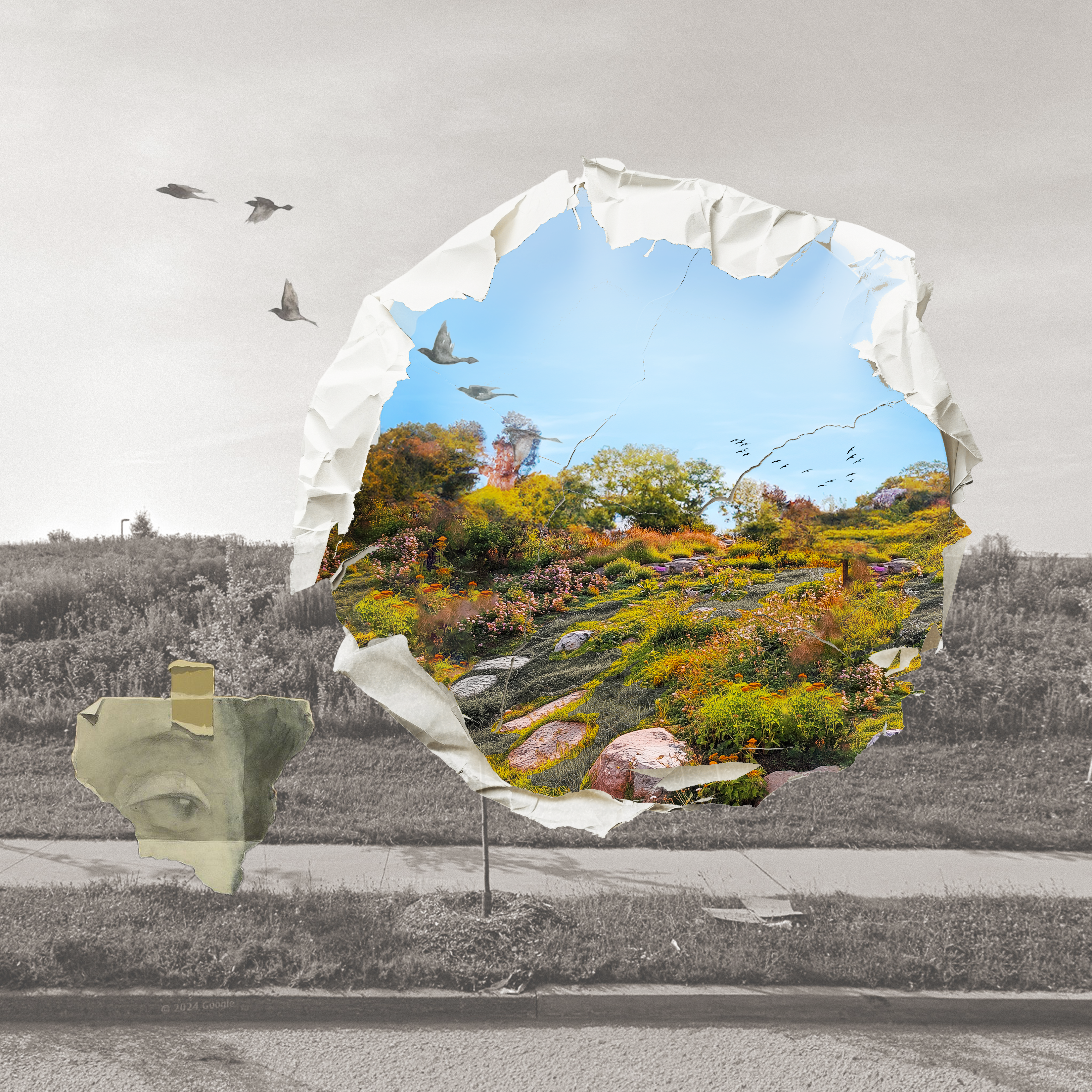
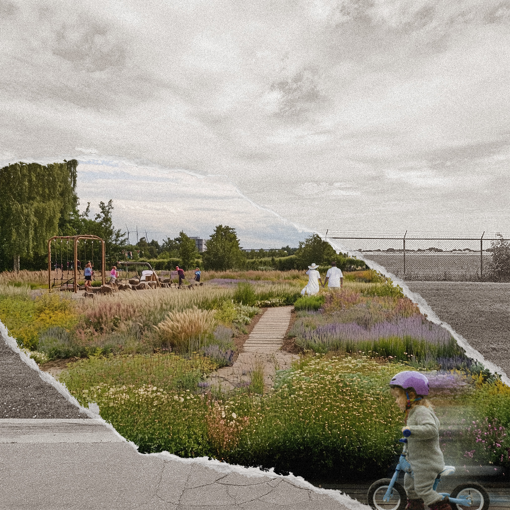
Vegetation Strategy
+ Mapping typologies at the spatial scale to understand their methods of creating boundaries at the site.
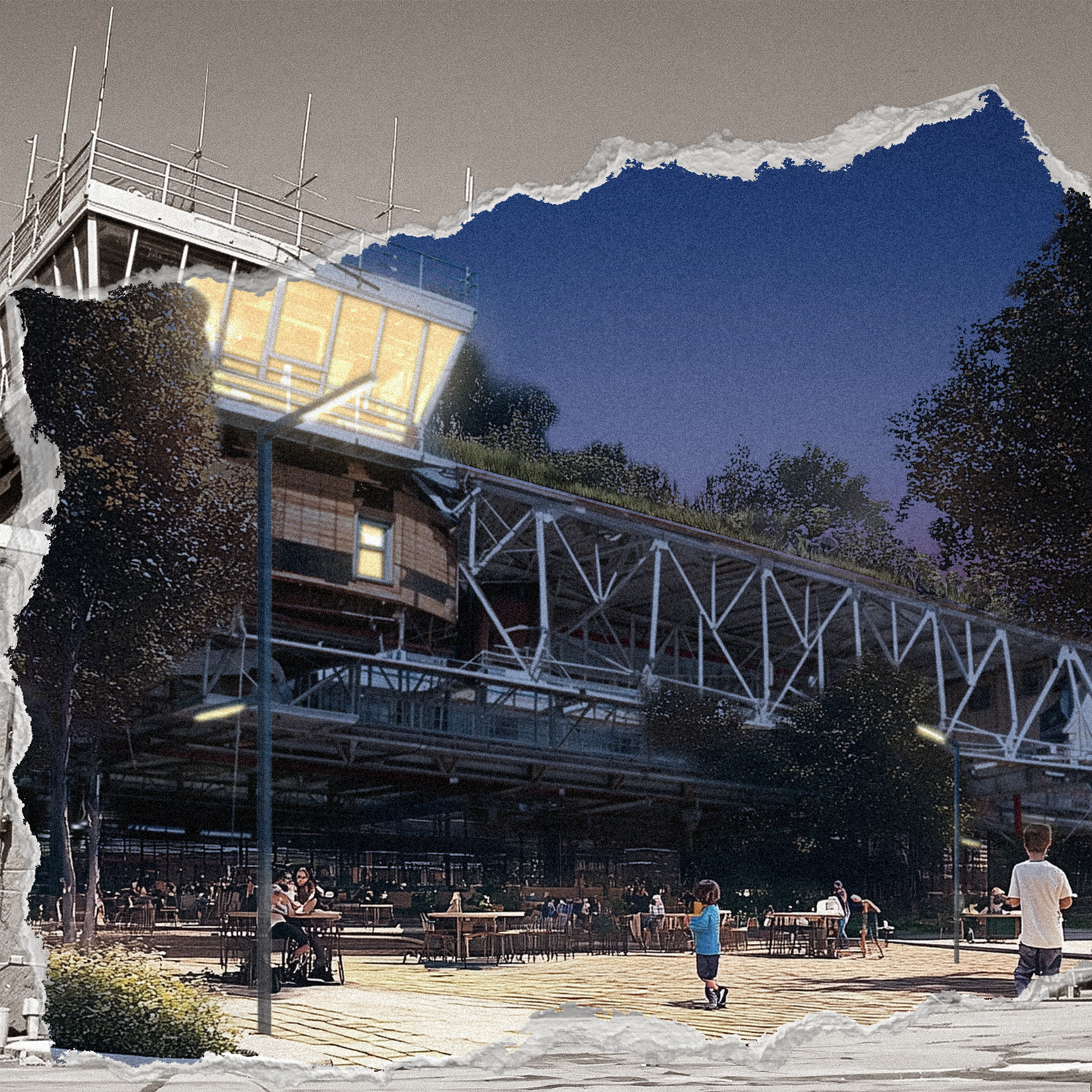
Hub Density Deployment
+ Density was informed at critical nodes and edges conditions of the site. This resulted in the creation of multiple "hubs" - located at major transit nodes, and at areas of existing density or development.
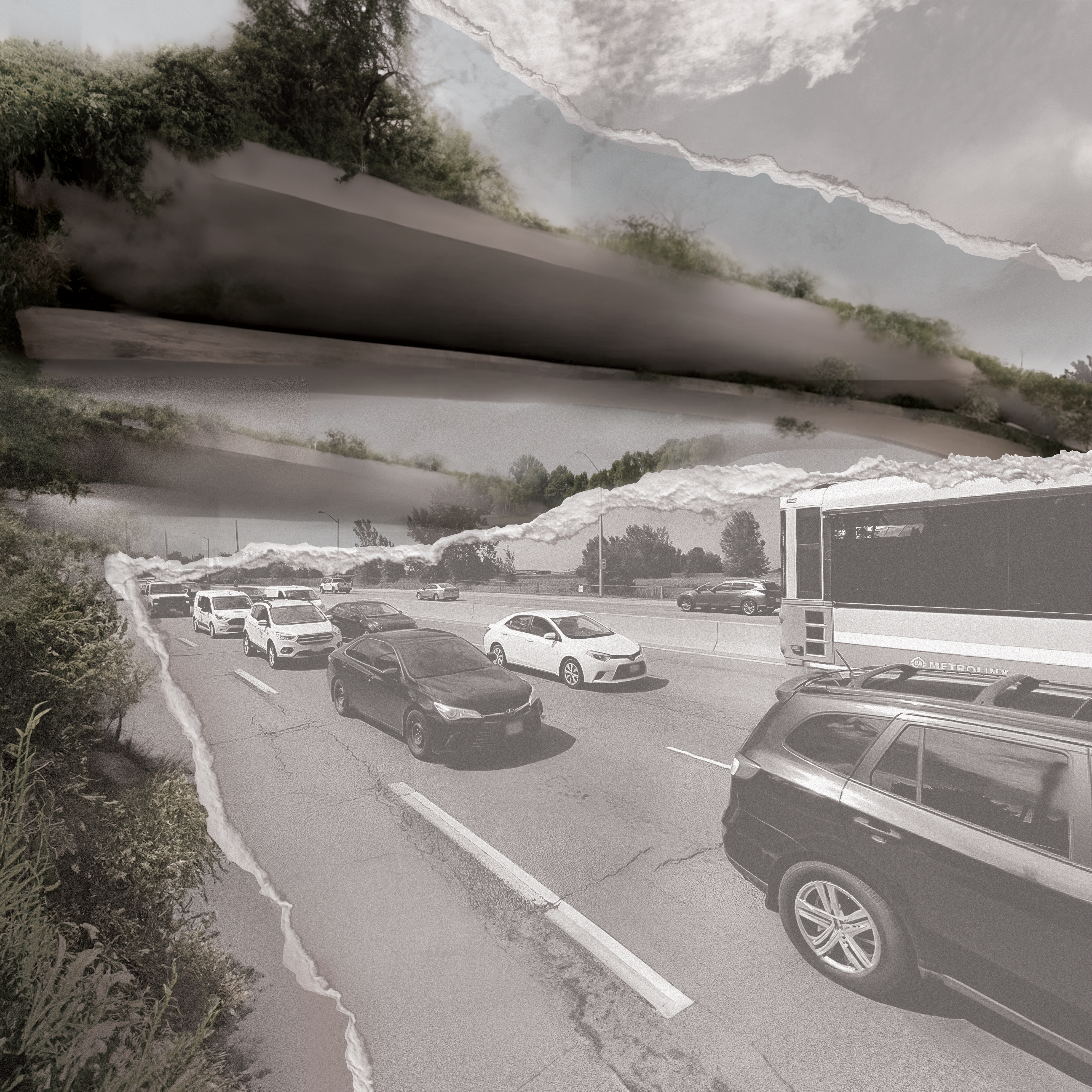
Circulation Hierarchy
+ Circulation network transitions a car-dependent community into a car free, active transport central landscape with the use of minimal roads and parking hubs.